Les Menuires-Saint-Martin-de-Belleville
 Saint-Martin-de-Belleville
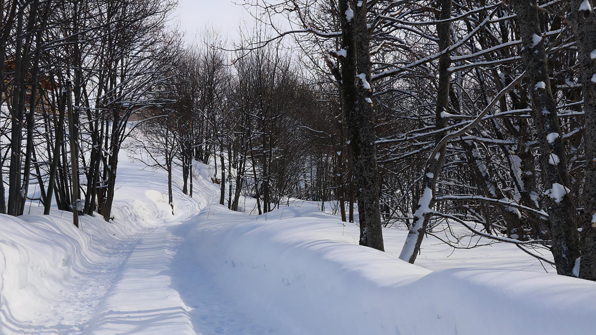
This route follows the river Doron along the bottom of the valley, through varied landscapes, such as forest and the snowy dips around the Iles.
Route details
| Difficulty | Easy |
|---|---|
| Beaconing | 2 |
| Departure point | Les Menuires / Saint-Martin-de-Belleville |
| Duration | 05:00 |
| Distance | 16 km |
| Ascending elevation gain | 56 m |
| Negative elevation gain | 360 m |
| Min. altitude | 1450 m |
| Maximum altitude | 1850 m |


